In a world where hidden infrastructures play a crucial role, precision and clarity in assessing pipelines are paramount. Franchini Servizi Ecologici, with its dedication to innovation and excellence, is proud to introduce the 3D georeferencing service.
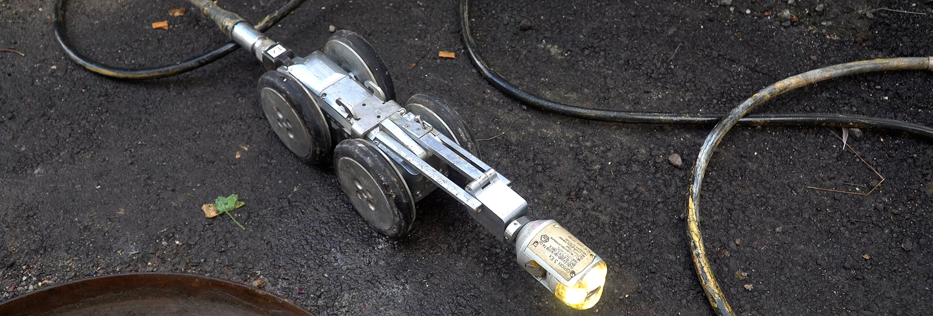
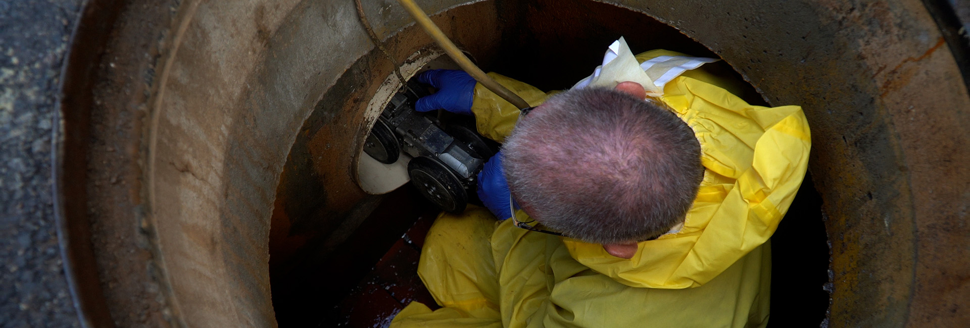
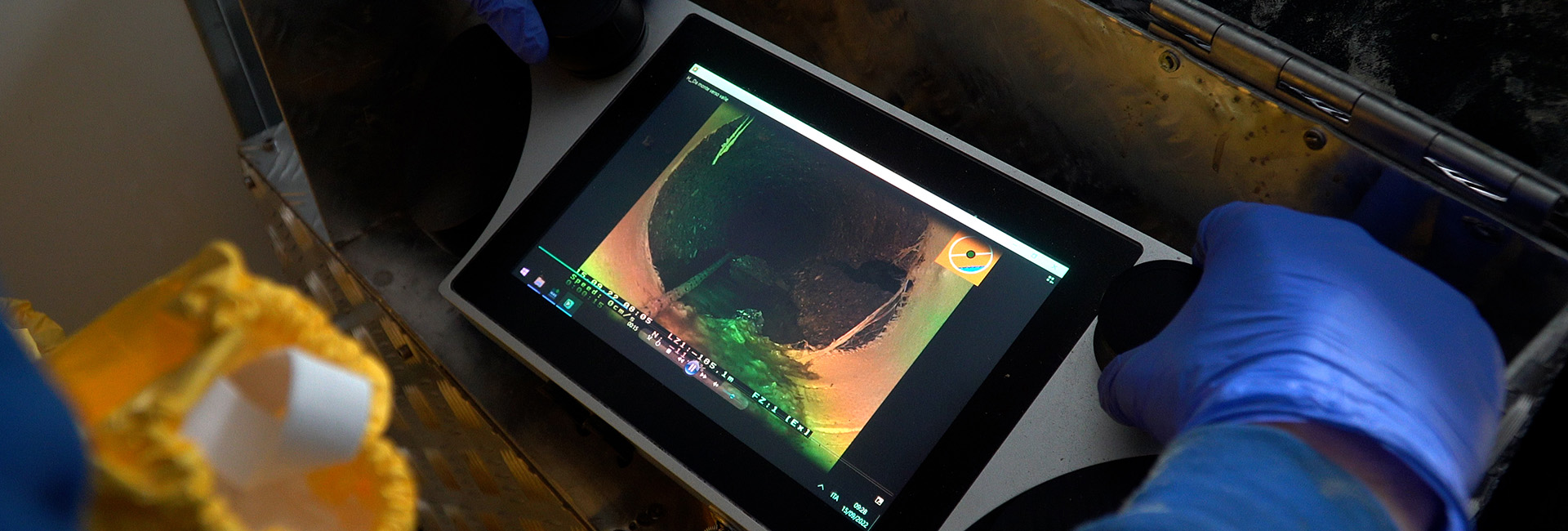
Our 3D georeferencing service utilizes advanced technology to provide a detailed and comprehensive view of pipelines within infrastructures. Through a 3D video inspection system, we can trace the course of pipelines in three dimensions, offering a clear and accurate visual representation of their positioning in spatial context.
From smaller pipes with diameters ranging from 40 mm to 200 mm to larger pipes up to 2000 mm in diameter, our technology can adapt to a wide range of sizes and lengths. 3D georeferencing enables us to provide extensive and detailed coverage, ensuring a comprehensive assessment of underground infrastructures.
Each 3D georeferencing service is supported by a detailed technical report that complies with current regulations. Precise mapping of pipelines allows us to provide an accurate analysis of their condition, facilitating the planning of remediation interventions and preventing potential future issues.
With Franchini Servizi Ecologici, you can appreciate the future of pipeline maintenance. Don't wait for unforeseen problems to occur. Discover the state of your pipelines today with Franchini Servizi Ecologici's 3D georeferencing and ensure advanced and precise management of your underground infrastructures.