3D Georeferencing: Charting the Future of Pipeline Maintenance
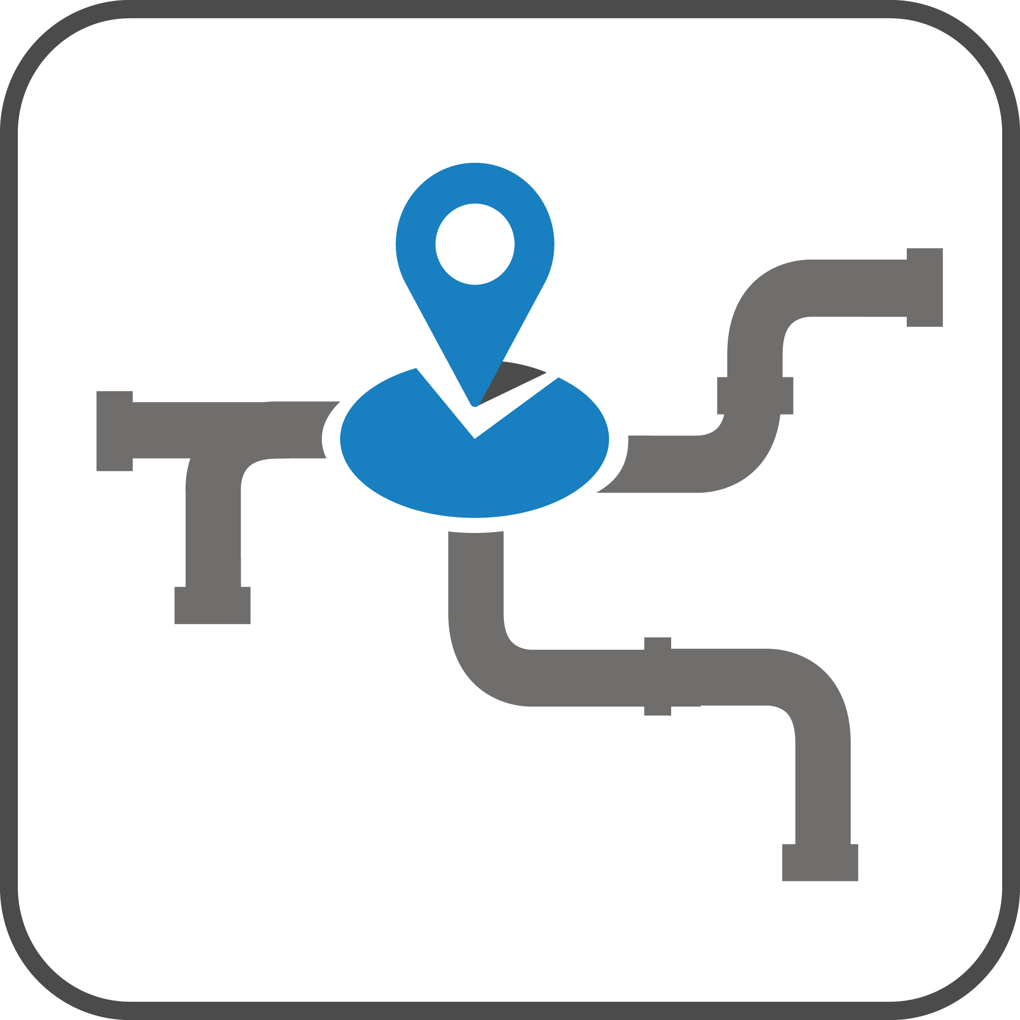
3D georeferencing for underground networks and infrastructures
3D georeferencing is an advanced technology that assigns precise geographic coordinates to three-dimensional models of underground infrastructures. This provides a complete and integrated view of networks and pipelines in their real spatial context.
Franchini Servizi Ecologici uses advanced network georeferencing systems to improve management, maintenance, and planning of complex infrastructures.
What is 3D georeferencing and how it works
3D georeferencing allows integration of three-dimensional models with real geographic data such as maps and GIS systems. This enables a precise representation of underground infrastructures and better intervention planning.
Before any analysis, complete data collection is performed to ensure maximum accuracy of the final model.
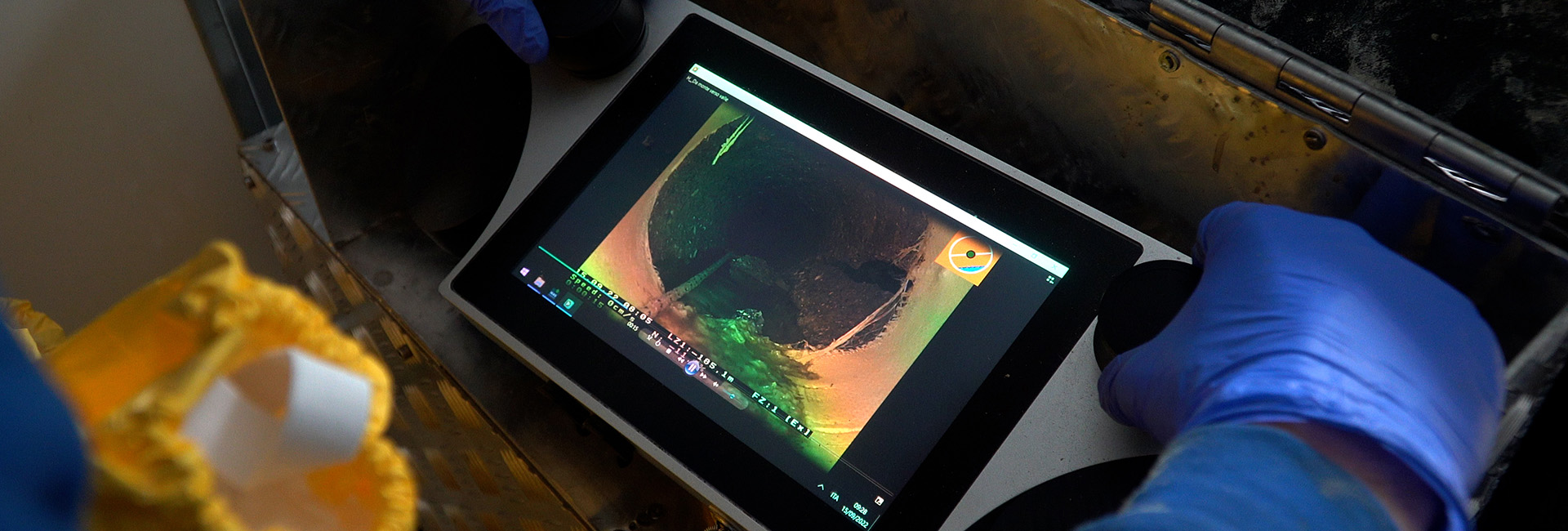
- Data acquisition through 3D video inspection systems
- Assignment of geographic coordinates to networks
- Integration with GIS systems and digital maps
- Creation of 3D infrastructure models
These activities provide a complete understanding of the condition of networks and pipelines.
Georeferencing technologies and tools
| Activity | Tools | Notes |
| Network georeferencing | GIS systems and dedicated software | Precise infrastructure mapping |
| 3D georeferencing | Advanced video inspection systems | Detailed 3D modeling |
| Pipeline surveying | Sensors and specialized probes | Pipeline route detection |
Applications and benefits of georeferencing
Network georeferencing is a key tool for modern underground infrastructure management, enabling more efficient planning and targeted interventions.
- Improved maintenance planning
- Reduced infrastructure management costs
- Prevention of future critical issues
- Higher accuracy in pipeline localization
This approach enables smarter and more sustainable infrastructure management.
FAQ
It is the process of assigning geographic coordinates to 3D infrastructure models.
It is used to accurately map and manage underground networks.
Yes, it improves planning and reduces operational risks.