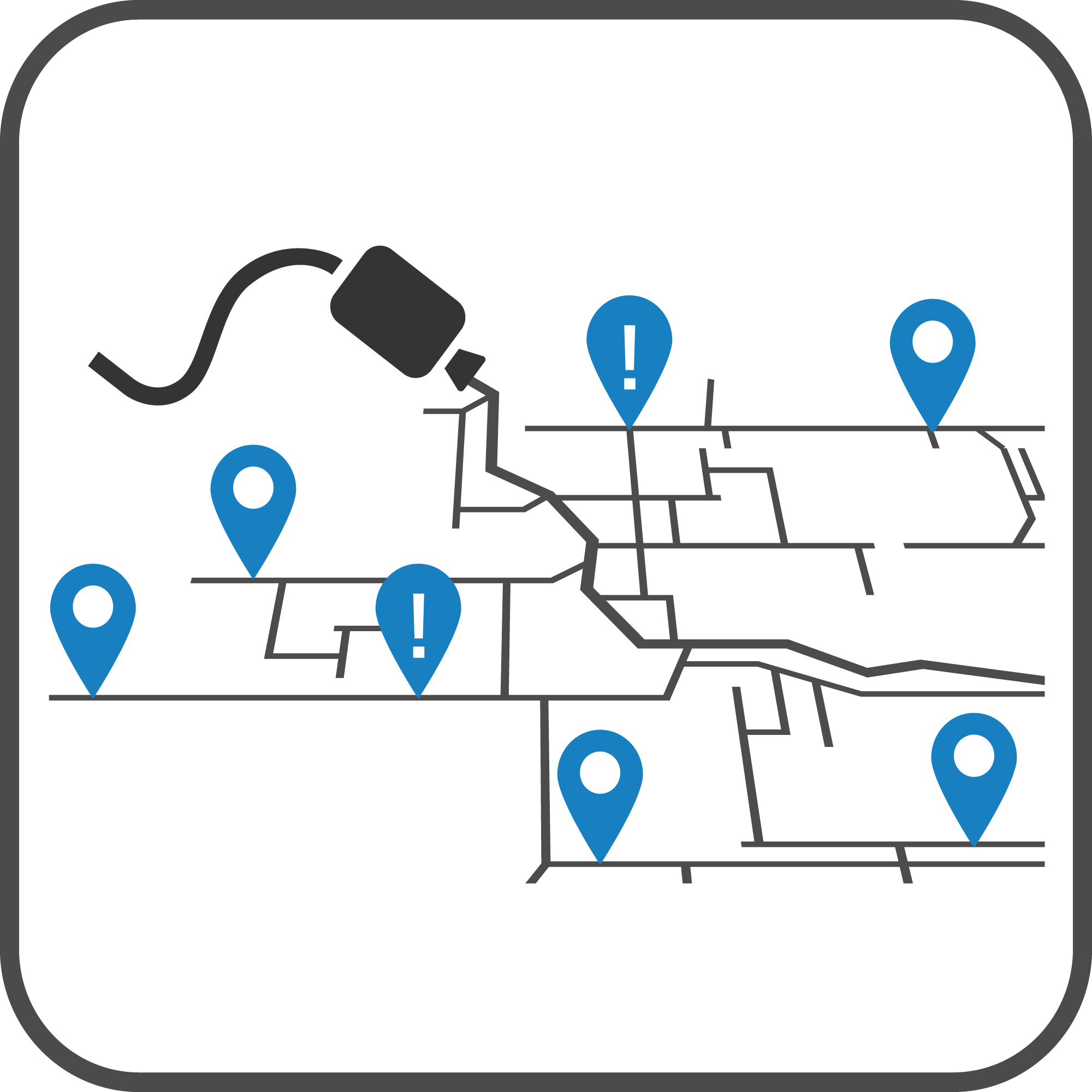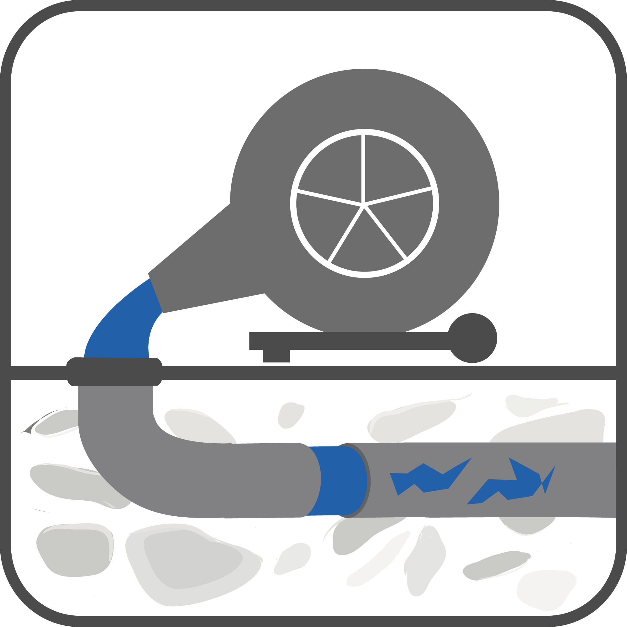
Mapping of sewer networks and other networks
The most advanced technology to ensure the greatest safety
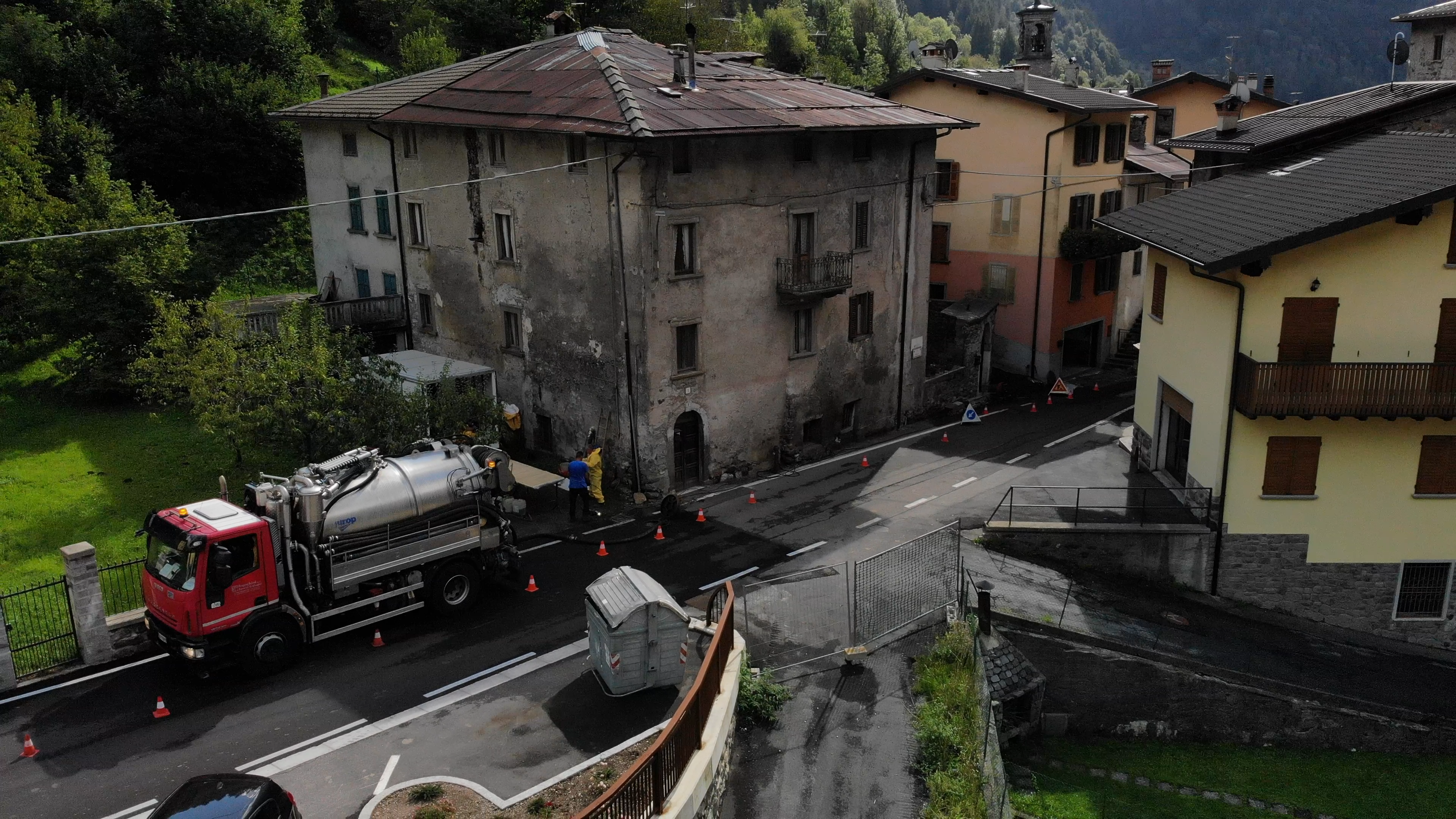
Sewer network mapping is a service that Franchini Servizi Ecologici provides its clients as an additional and/or complementary element to the network cleaning system. However, it is a fundamental intervention that allows for a investigation and video survey of the sewer network layout and its state of repair.
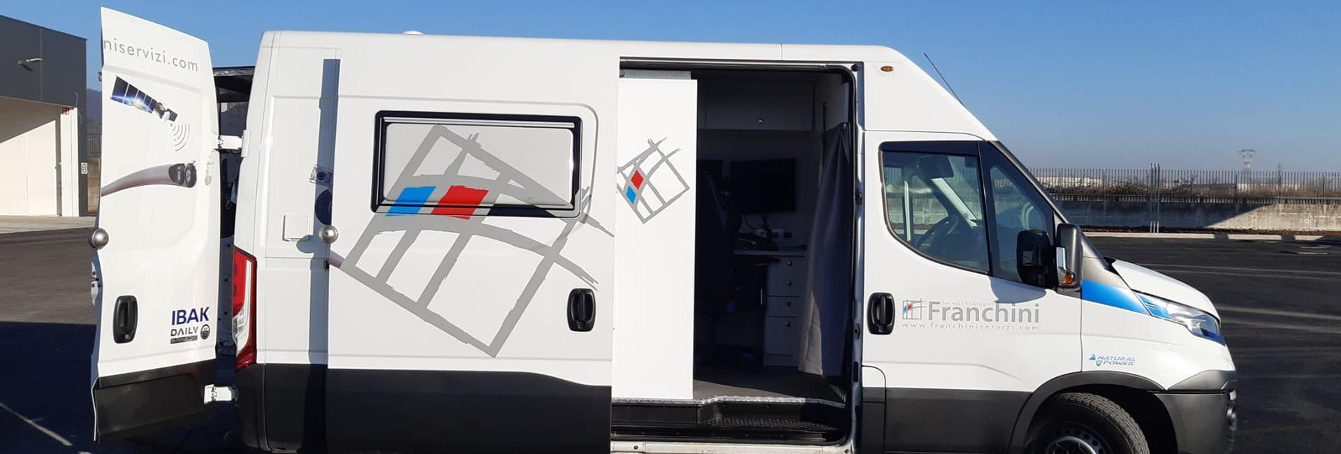
Thanks to robotic television probes, satellite detection systems, radio detectors, and a computerized mobile system (3D georeferencing service), we are able to perform a detailed technical study of the sewer system in question, cataloging data relating to the geometry of the cross-section, precise determination of the 3D route, precise satellite position, pipe slope, location of connections, and location of any anomalies (breakages, root infiltration, etc.). It is therefore possible to carry out a complete and precise mapping of sewer networks.
With latest-generation equipment, such as that of Franchini Servizi Ecologici, it is easier to identify structural problems in the network with absolute precision, in order to perform targeted and effective pipe maintenance interventions.
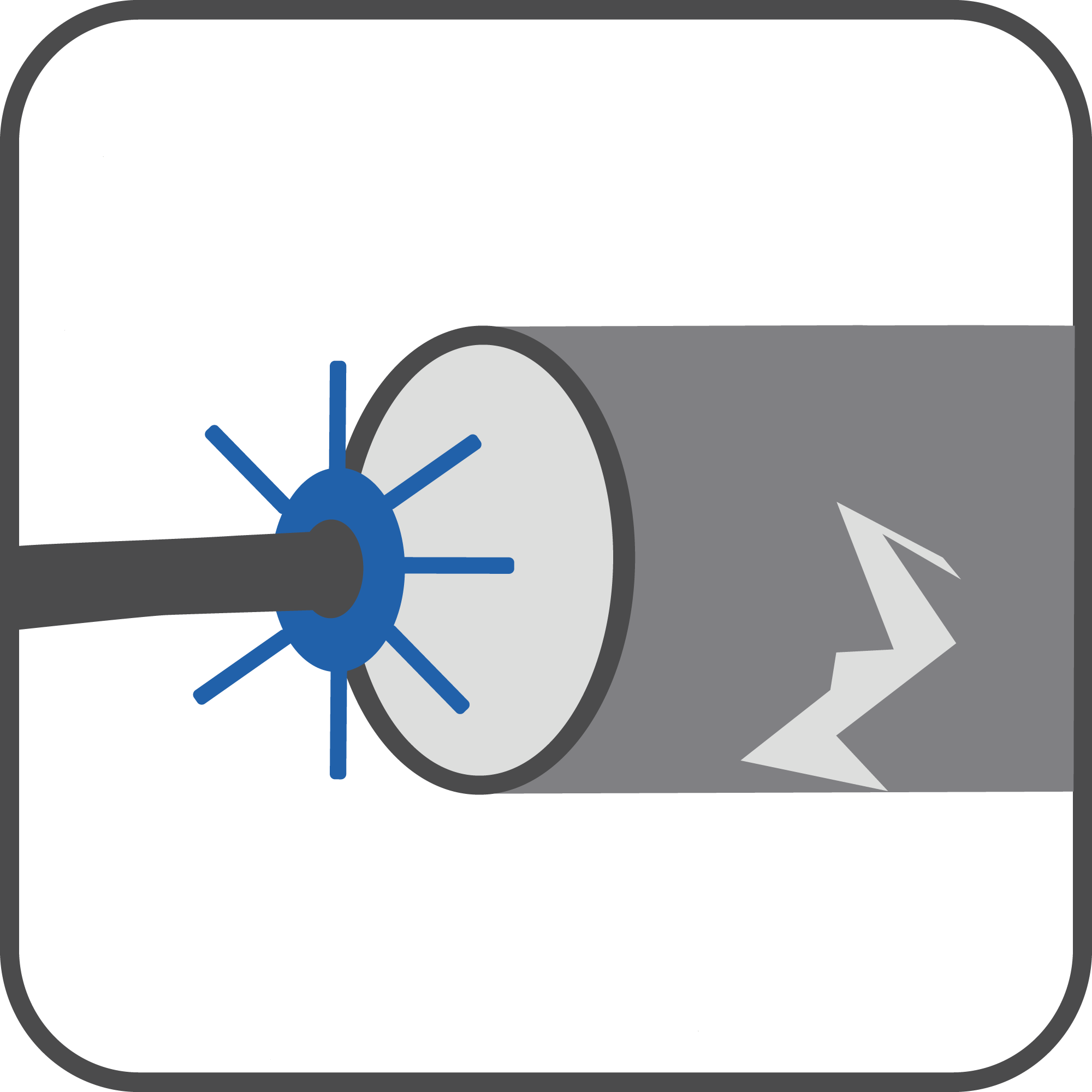
 Video inspection
 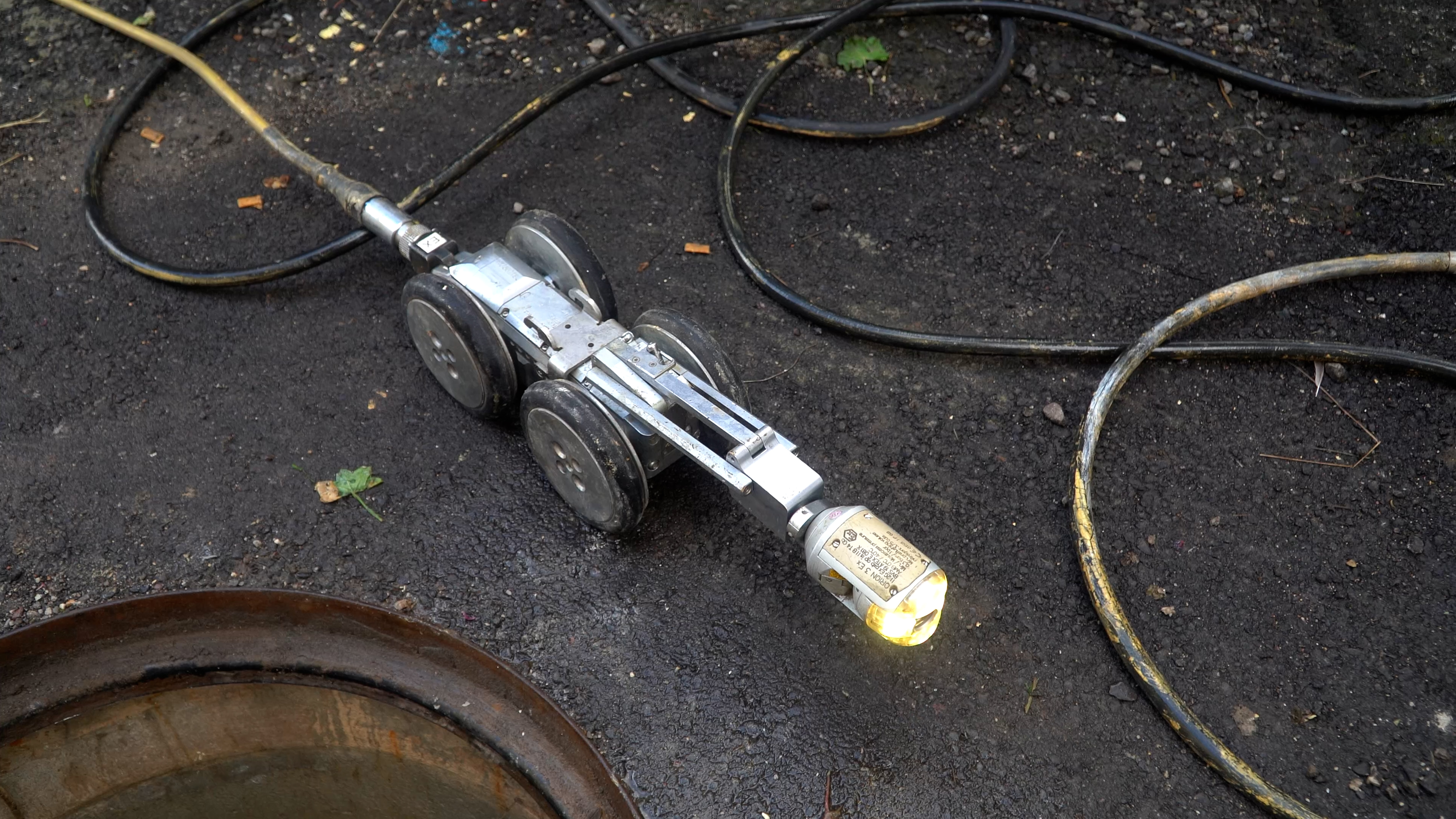 Video inspection
 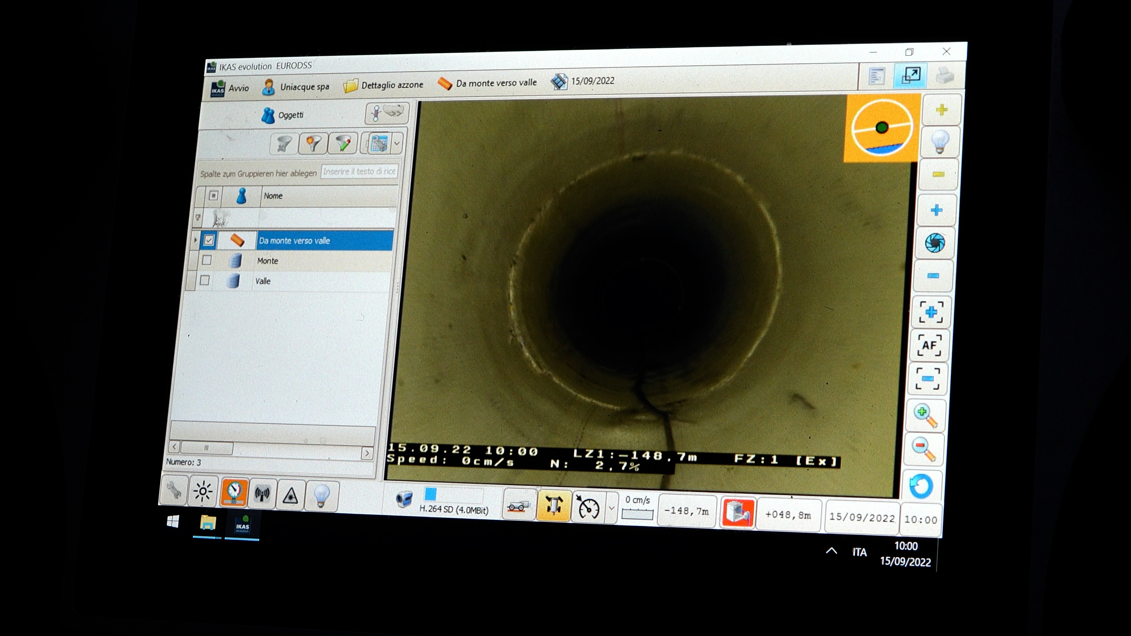 Video inspection
 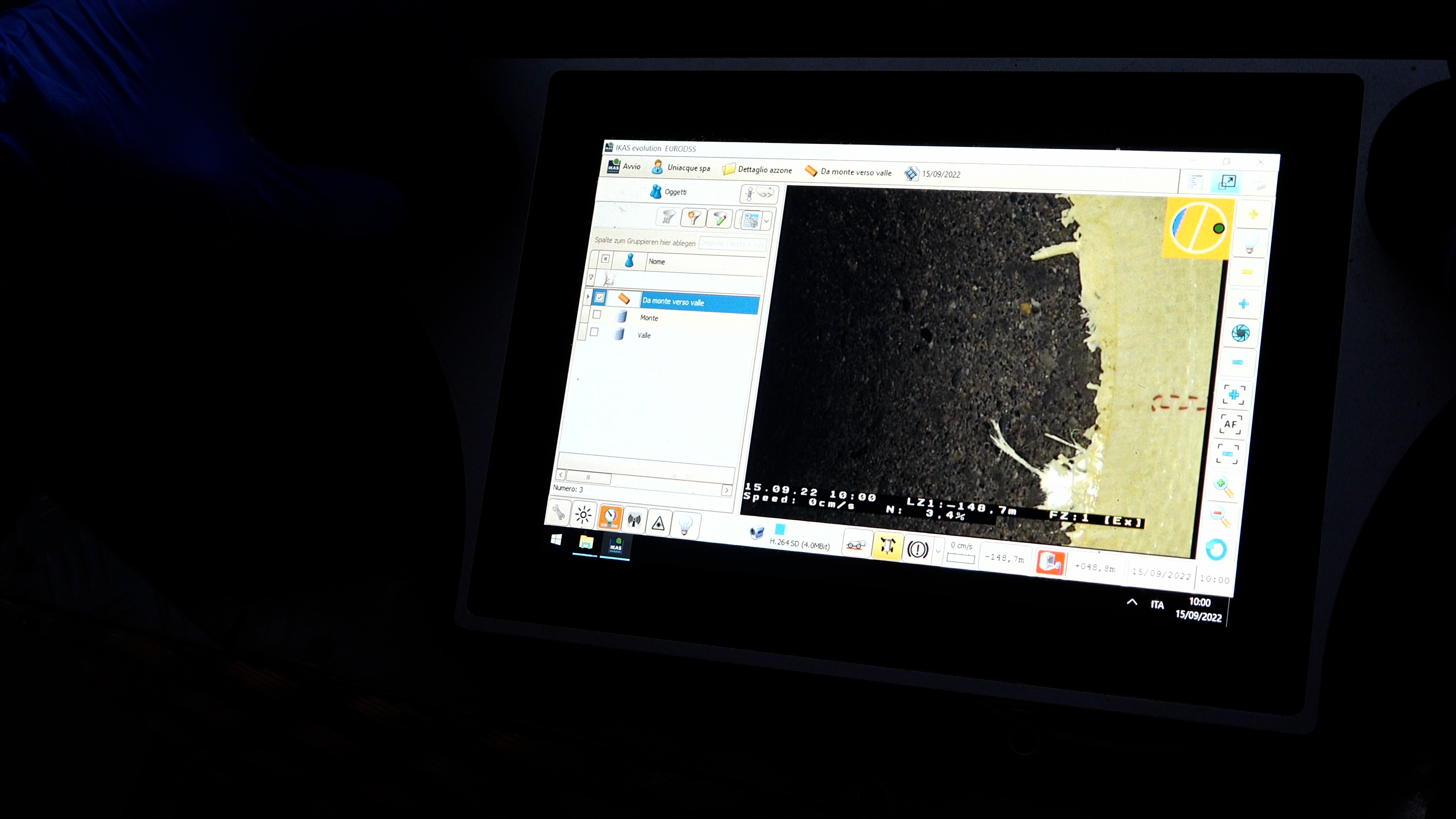 Video inspection
 Related Econews

Road Drain Cleaning: Management and Interventions for Urban Safety and Sewer Continuity
Road drain cleaning is an essential activity to ensure the proper functioning of urban sewer systems and prevent issues that could compromise public safety and traffic conditions. In urban environments, sewer networks are constantly exposed to the accumulation of debris, sand, sludge, and waste that, if not promptly removed, can cause blockages, flooding, and service disruptions.

Sewer Network Maintenance and Cleaning: Ensuring Efficiency and System Safety
Sewer network maintenance and cleaning is a fundamental activity to ensure the proper functioning of systems and prevent operational issues that could compromise the entire drainage infrastructure. Planned interventions help avoid emergencies, reduce costs, and maintain high safety standards.

Condominium Sewer Maintenance: Cost Allocation and Mandatory Frequency
Condominium sewer maintenance is a fundamental aspect to ensure the proper functioning of systems and to prevent issues such as blockages, bad odors, or flooding.

High-Pressure Hydrodynamic Cleaning: Benefits for Industrial Pipelines
High-pressure hydrodynamic cleaning is one of the most effective techniques for industrial pipeline maintenance, especially when it comes to removing hard scaling, solid residues, and persistent deposits.

Septic Tank Full: 5 Clear Signs and What to Do Right Away
The main signs of a full septic tank are persistent odors, slow drainage, gurgling noises from the pipes, and, in more serious cases, sewage leaks or water pooling in the yard. If you experience any of these symptoms, you should schedule a professional septic tank cleaning service within 24-48 hours to avoid structural damage or home flooding.