What pipe mapping is and what it produces
This isn't just a graphic survey. Pipe mapping is an infrastructure diagnosis: it combines video inspection of pipes, instrumental location, depth measurement, and structural condition analysis.
The final output is updated technical documentation covering the plan layout, depth measurements, connection and manhole positions, and — where present — anomalies such as infiltrations, deformations, or collapses. Something you can actually use to plan work, not just file away.
How it's carried out
The techniques used are non-invasive: no digging, no service interruption. The main operational phases are:
- Video inspection with robotic probes — push or self-propelled HD cameras that travel through the pipe, recording cross-section geometry, gradient, structural defects, and connection positions
- Radio frequency location — an active probe generates a signal that a surface receiver tracks to map the pipe route, effective on plastic and concrete materials too
- 3D georeferencing — integration with satellite and radio detectors to position every element with millimetre precision, producing a permanent digital database
- Final technical report — a certified document recording the network's condition and identifying priority corrective work
Some more advanced technologies use low-frequency seismic waves or ground-penetrating radar to detect pipes without inserting any instrument into the conduit — useful when access is impossible or the system cannot be shut down.
Why it's a strategic choice, not just a technical one
Having an updated map changes how you manage a system. It's not a document to keep in a drawer — it's the foundation for any effective maintenance strategy.
The practical benefits:
- Accidental damage during excavation is avoided — which often costs more than the entire planned job
- Problems are identified before they become emergencies: infiltrations, deformations, weak points
- Scheduled maintenance replaces emergency callouts, with significantly lower operating costs
- During remediation or decommissioning, work is based on solid data rather than estimates
The shift from reactive to predictive isn't an abstract idea. It shows up in avoided callouts, reduced downtime, and operators who aren't digging blind.
Where it's applied
Pipe mapping is requested across very different contexts:
- Civil and residential sewer networks — where original plans are missing or no longer reflect reality
- Complex industrial plants — with production drainage networks that cannot afford unplanned interruptions
- Urban and road infrastructure — ahead of excavation or new construction
- Treatment plants — for structural checks and regulatory compliance
- Sites undergoing environmental remediation — where knowing what's underground is an operational requirement before anything else
Every context calls for a different approach: pipe diameter, material, depth, and access conditions all affect the choice of technology and procedure.
Integrated mapping with video inspection and georeferencing
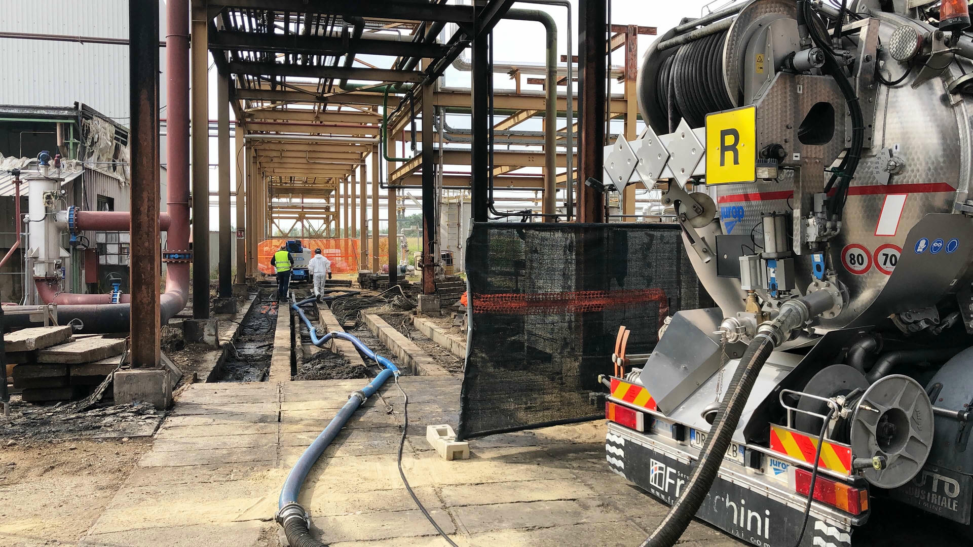
Franchini Servizi Ecologici carries out mapping of sewer networks and underground pipes, combining robotic probe video inspection, millimetre-accurate 3D georeferencing, and certified technical reporting. Every job delivers a complete, up-to-date infrastructure database the client can use directly to plan next steps.
FAQ
It's the technical process that identifies the route, depth, and condition of buried pipes, producing updated documentation for maintenance, remediation, or excavation work. It goes well beyond a graphic survey — it includes structural diagnosis and instrumental location.
Without precise data, any work on underground networks becomes riskier and more expensive. An updated map lets you prevent damage during digs, plan maintenance ahead of time, and dramatically cut emergency callouts.
No. The techniques used — video inspection, radio frequency location, ground-penetrating radar — are non-destructive and in most cases don't require any service suspension.
When updated plans aren't available, before excavation or remediation work, when anomalies are suspected in the pipes, and as the basis for any scheduled maintenance programme.
Yes — it's what makes it possible. Without knowing where pipes are and what condition they're in, nothing can be reliably planned. Mapping turns maintenance from reactive into predictive.
Industrial companies, plant managers, public authorities, building administrators, and anyone managing underground networks that haven't been recently documented or that have unresolved issues.